- Cavea GmbH
- RTLS Digital Twin
RTLS Data for Digital Twins: How Real-Time Location Makes Your Site Model Live
A 3D model shows what your site looks like. RTLS shows what it is doing right now.
This guide explains what real-time location data contributes to a twin, how that data reaches it, and what to consider when choosing the location layer underneath.
- 7 min. reading time
- Updated August 2026
- Pillar Guide
Content
-
Key Points at a Glance
- A digital twin without live data is just a 3D model. Real-time location is what makes it operational.
- RTLS continuously feeds the twin with position, movement, dwell time and flow for every tagged asset, vehicle and load carrier.
- Kept on an open location layer, that data stays vendor-neutral instead of locked into one system.
What a Digital Twin Actually Needs
Most twin projects begin with a model exported from CAD or BIM. That model is accurate about layout and geometry. It says nothing about behaviour. It cannot tell you which forklift is blocking the aisle, how long a load carrier has been waiting at the buffer, or whether material is flowing the way the plan assumed.
An operational twin needs a continuous stream of what is where and how it moves. That stream has to arrive without manual scanning or booking steps, because a twin fed by manual input is only as current as the last shift report.
Static model
A geometric copy of the site. Walls, lines, racks and machines sit in the right place, at the right scale. It is useful for planning, layout reviews and communication. It shows one state, the state that was modelled. When the floor changes, someone has to update the file. Nothing in the model knows what happened this morning.
Live operational twin
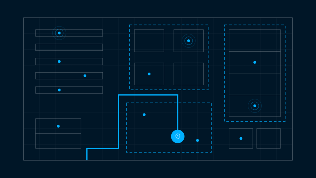
The same geometry, with real-time state on top. Every tagged object has a current position. From this data, movement patterns, dwell times, and time spent in specific zones can be determined. Zones report occupancy. Flows between areas are measured rather than estimated. The model reflects the site now, so it can be used for decisions during the shift, not only for planning between shifts.
How RTLS Feeds the Digital Twin
Three stages sit between a tag on a pallet and a moving object in the twin.
01
Tags on assets, vehicles and load carriers communicate with a grid of selected RTLS infrastructure across the site. The system computes continuous real-time position.
02
Location data can be provided via an open, vendor-neutral location layer such as omlox. This allows different applications to access standardized location data without being tied to a single RTLS platform.
03
The live positions drive the digital twin, dashboards, value-stream and simulation tools. Our sister company Seconity sits at this stage, turning location and sensor data into a live, AAS-conform model of the plant and connecting it to SAP and MES.
What RTLS Data Adds to the Twin
Live position of every tagged object, continuously.
Movement paths and travel distances.
Dwell time and zone occupancy.
Throughput and material flow between areas.
Utilization of equipment, floor space and handling gear.
Congestion and bottleneck signals as they form.
What You Can Do With a Live Twin
Find and remove flow bottlenecks
Enable What-if-Simulations
Feed live value-stream analysis
Drive alerts, routing and automation
Give AGVs, people and equipment one spatial picture
A shared situational awareness means that AGVs, employees, and other systems can operate using consistent information about locations, zones, and movements.
Choosing the Location Layer
A twin tied to one RTLS vendor can become an integration silo. The positions live inside that vendor’s platform, and every other tool needs a custom connector. As soon as a second technology or a second site is added, the integration work repeats.
An open standard avoids that. omlox defines how location data is published and consumed, so positions stay portable across tools and across radio technologies. The twin, the dashboard and the simulation tool all read from the same layer.
Where Cavea stands on this
Cavea builds its RTLS to be omlox-conform. Radio technology is selected per use case rather than sold as one answer, weighed on accuracy, latency, battery life and total cost of ownership.
Cavea Tribrid tags make it possible to track a trackable using a single tag across different tracking technologies. Depending on the zone and use case, the most appropriate location technology can be used.
- UWB or AoA where the twin needs high precision and a fast update rate.
- Cavea Mesh and BLE where long battery life and low infrastructure matter more than centimetres.
Standards for an Interoperable Digital Twin
Location layer
Twin interoperability
The Asset Administration Shell is the open standard for describing an asset digitally. Seconity delivers AAS-conform submodels directly out of operations, which keeps the twin readable by other systems.
Digital Product Passport
Under the EU Ecodesign Regulation, the digital product passport is gradually becoming mandatory for certain product groups. Automatically recorded location and process events form the data trail that may be required. Location data alone does not constitute compliance, but it serves as evidence of compliance.
Frequently Asked Questions
How does RTLS support a digital twin?
RTLS provides the continuous real-time location layer: where every tagged asset, vehicle and load carrier is, and how it moves. That turns a static site model into a living operational twin.
What is the difference between a static and a live digital twin?
A static twin shows layout and geometry. A living twin adds the real-time state, meaning position, flow and utilization. It reflects what is actually happening on site right now.
Do I need RTLS to build a digital twin?
Not for a visual model. For an operational twin you do need a live data source, and RTLS is the most direct way to supply continuous location and movement data.
Can the location data be used across different tools?
Yes, and it is particularly easy when they are based on an open standard such as omlox. That keeps positions vendor-neutral and equally usable for twins, dashboards and simulation tools.
Which RTLS technology is best for a digital twin?
It depends on the accuracy and update rate the twin requires. UWB and AoA deliver high accuracy and fast update rates, while Cavea Mesh delivers long battery life and low infrastructure effort for zone-based coverage.
The Location Layer Under the Twin
Cavea builds the real-time location layer that feeds digital twins. It is omlox-conform, so the positions stay usable outside our own software, and the radio technology is selected per use case rather than prescribed. If you are scoping a twin and need to work out what the live data layer under it should look like, that is the conversation to have first.
What is RTLS?
RTLS technology compared: UWB, AoA and Cavea Mesh
RTLS asset tracking in practice
What continuous asset tracking changes in manufacturing and logistics.
Smart Factory with RTLS
omlox explained
A detailed explanation of the open standard for RTLS data.

